
23 MARCH 1918, Page 17


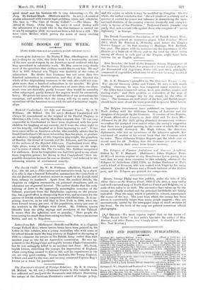
Messrs. George Philip and Son publish, under the title of
The Allies' Gains on the Western Front, 1914-17 (2s. net), a very useful and well-executed map of North-Eastern France and Belgium, cn scale of ten miles to an inch. The successive lines taken up by the enemy are clearly marked and the principal battlefields are boldly indicated. Thus the map, which is printed in colours, summarizes the course of the war. The zone from which. the enemy has been driven is considerably larger than many people suppose ; they are unconsciously misled by the newspaper maps of small sections of the front. On the back of the map are printed numerous official photographs.