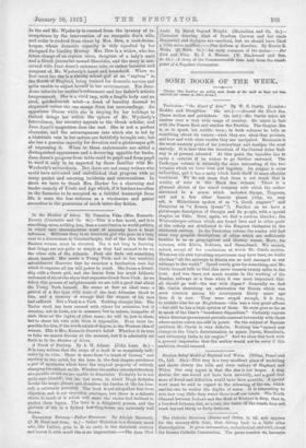
Surface Relief Model of England and Wales. (Sifton, Praod and
Co., Ltd. 21s.)—This map is a very excellent piece of modelling and shows clearly the hills and river valleys of England and Wales. Our only regret is that the size is not larger. A map double the size would not have been unwieldy, and a good deal more of detail and definition would have been possible. A special word must be said in regard to the colouring of the son, which enables one to realize the depths of water. It is interesting to note how very little deop water there is off our coasts. Tho North Channel between Ireland and the Mull of Kintyre is deep, that is, a hundred fathoms, but., as a rule, the water off the coasts does not reach beyond thirty or forty fathoms.


 Previous page